Data Creation
Centremaps Limited
Visit the CentremapsLive Website for more information.
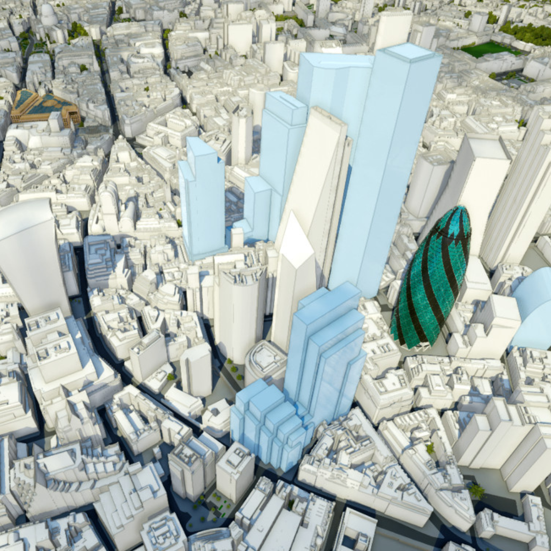
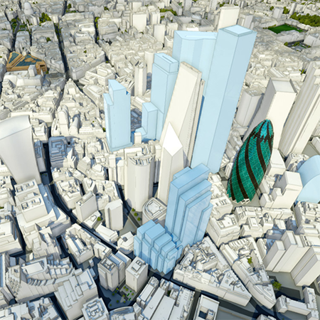
At CentremapsLive, they specialise in offering precise OS Mapping services that cater to a wide range of industries. Their experienced team is dedicated to delivering high-quality, custom mapping solutions that meet the unique needs of each client. With their data capture and creation capabilities, including the creation of 3D models using aerial imagery including optional ground survey and capturing new data such as imagery and height using UAV theyare able to provide clients with detailed and accurate maps that help them better understand their environment. They can take existing data such as spreadsheet data, for example addresses, or legacy pdf/paper maps and standardise the content, generating spatial version suitable for CAD, GIS or even spatially enabled databases.
They can enhance data such as OS MasterMap with additional information from desktop studies or information captured on the ground. Grounds Maintenance mapping is one popular example, enabling the production of clear maps defining areas of responsibility as well as schedules of the surfaces and vegetation to be managed at each site. Where sub centimetre precision is critical they work with survey partners using the latest theodolites, scanners or underground tracing equipment
Within CentremapsLive they ensure clients that they always start their data creation process with a consultation to understand your project completely before making your plan a reality.


