Mapping
Centremaps Limited
Visit the CentremapsLive Website for more information.
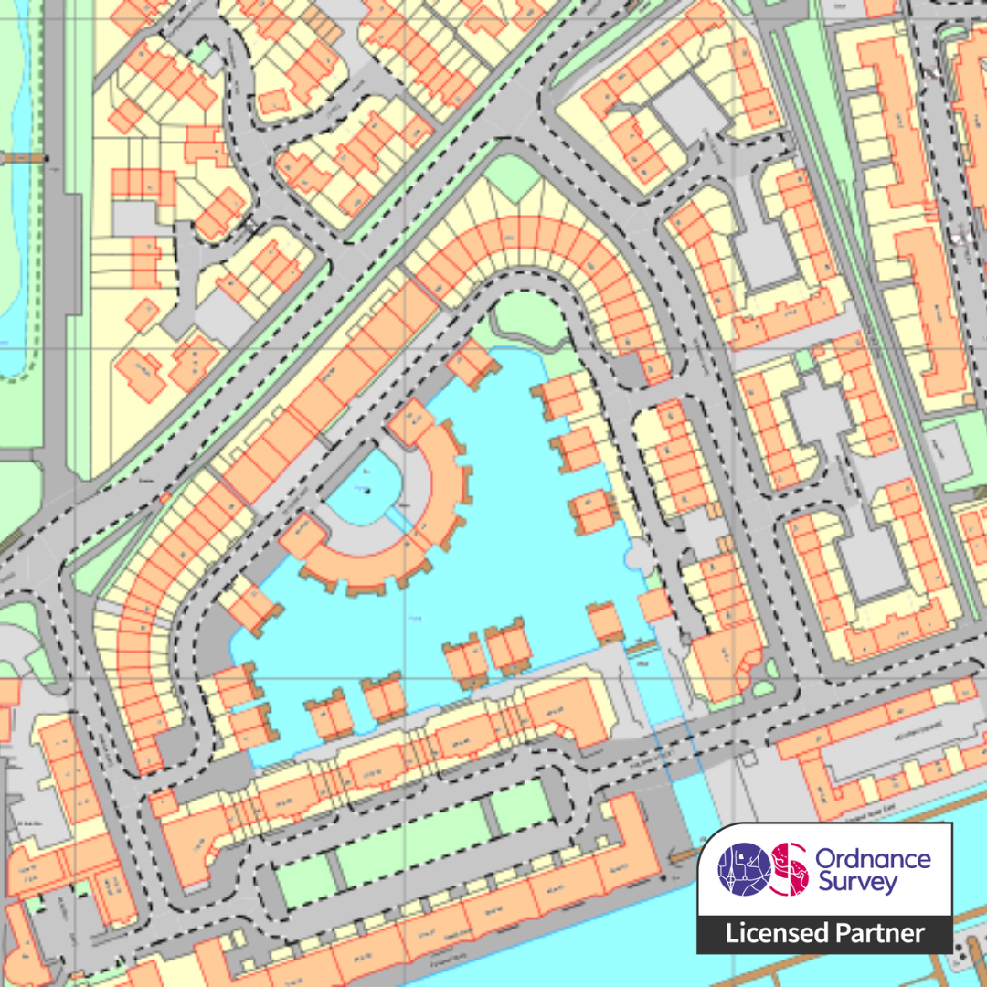
When accuracy really counts, choose OS MasterMap Topography Layer. The most detailed, current and comprehensive map dataset of Great Britain, it enables you to take better decisions and manage your assets more effectively. It is an approved mapping source for planning applications and land registration, and the definitive detailed mapping dataset for Great Britain.
Within CentremapsLive you can quickly mark out your area of interest, before taking the map as either a scaled Print or Image, or as a Data Export for your CAD or GIS system. In addition to enhancing your map with layers such as tree data, aerial data and height data at the click of a button.
You can also find Base Mapping, Administrative Mapping and Environmental Datasets such as flood and geology. Complex area or portfolio that you'd like help with? The support team are happy to help, contact them today.


