
Data Reports
Centremaps Limited
Visit the CentremapsLive Website for more information.
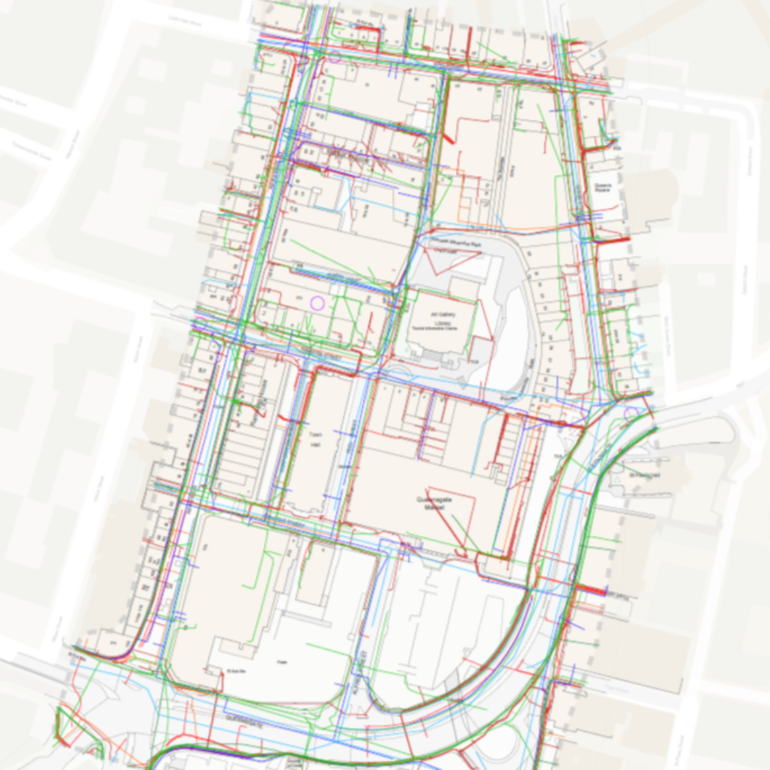
Reports that enable efficient navigation, so you can quickly identify and assess any significant contaminated land issues and geological setting for your site, or condense all your reports into a visual easily accessible format. Best-in-class map resolution and enhanced feature labelling provide a clear visual display of all identified data. In this section, discover the benefits of Utility Reports, Floods/SuDS Reports and much more.
Within CentremapsLive you can quickly mark out your area of interest, before placing your order for the team to source, consolidate and present the relevant information for you.


