Centremaps Limited
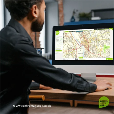
The CentremapsLive data portal provides an instantly accessible means to locate, view, license and download geospatial data in a range of formats across the UK. All backed up with offline support and consultancy built on over 20 years of offering Ordnance Survey data and solutions.
Ordnance Survey provides the definitive and most current datasets for Great Britain. Centremaps makes access to this information simpler with intuitive ordering and useful formats as well as extending the content w...
+ Read more
+ Read more
The CentremapsLive data portal provides an instantly accessible means to locate, view, license and download geospatial data in a range of formats across the UK. All backed up with offline support and consultancy built on over 20 years of offering Ordnance Survey data and solutions.
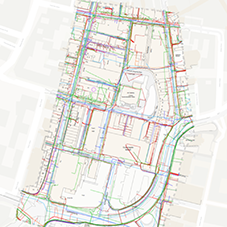
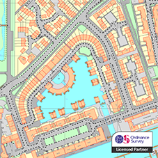
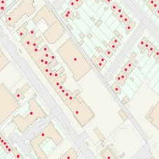
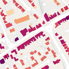
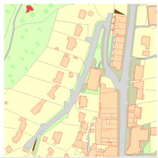
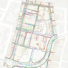
Ordnance Survey provides the definitive and most current datasets for Great Britain. Centremaps makes access to this information simpler with intuitive ordering and useful formats as well as extending the content with combined data, such as BGS geological mapping in a layered PDF document Data ranges from detailed large-scale mapping historical mapping, addressing, aerial imagery, height and tree, through to reports such as geology, environmental, utility information and more with raw data or reports for specialisms such as environmental risk. They also offer bespoke data creation and data management.
- Read less


